North West
North West
Property Features
Property ID: 20597819
Land Size: 2978 Acre approx.
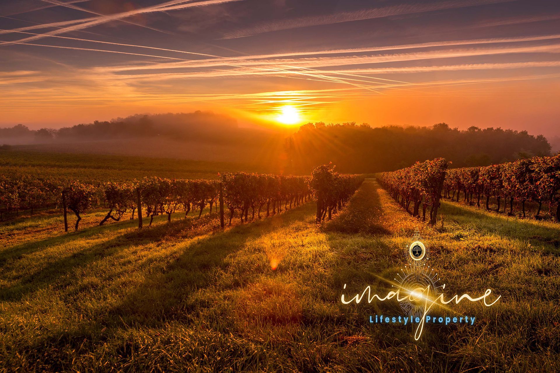
Property Description
"Karoola Downs", 2,978 acres.
Agribusiness is the cornerstone of Australian Industry.
Pro-Covid 19 is believed to the foundation of an Agricultural boom within Australasia, with massive increased opportunities for local supply, increased demand and new markets for export.
Here is a decreasing opportunity to invest and to live a Lifestyle away from the City, into the safety of a growing Regional Area, with all the benefits. Be part of sustainability, the new way of thinking, whilst you still can!
'Karoola Downs is a diverse, large holding of opportunity into Primary Production and Agribusiness'
Karoola Downs and its holdings, incorporate.
Incorporating:
DP 586695 / Lot 1 are part of Auto consul 8631-181
https://rg-guidelines.nswlrs.com.au/land_dealings/dealings_involving/folios
DP 754312 / Lots 10,27,32,33,39
DP 754317 / Lots 67 & 71
Comprising; 2,978.55 acres or 1191.42 hectares
Please refer to the attachment and the aerial plan.
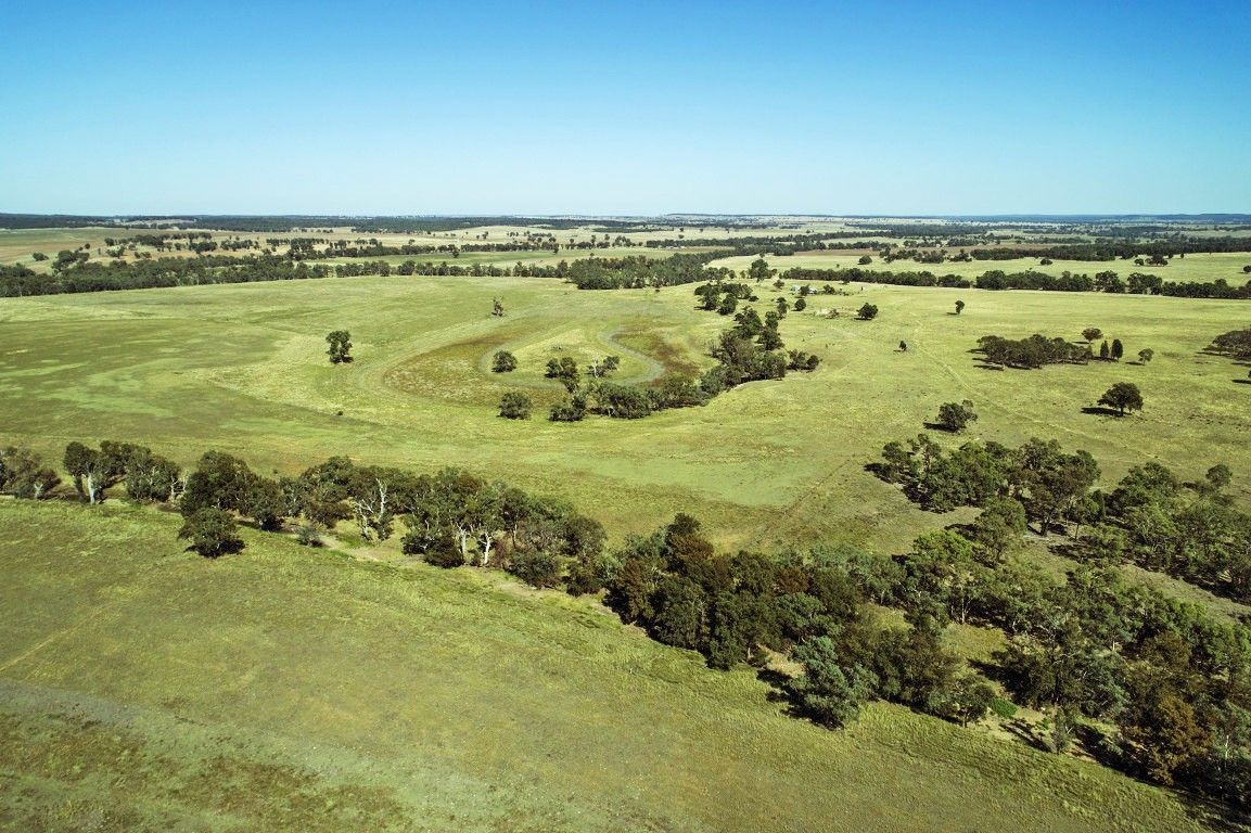
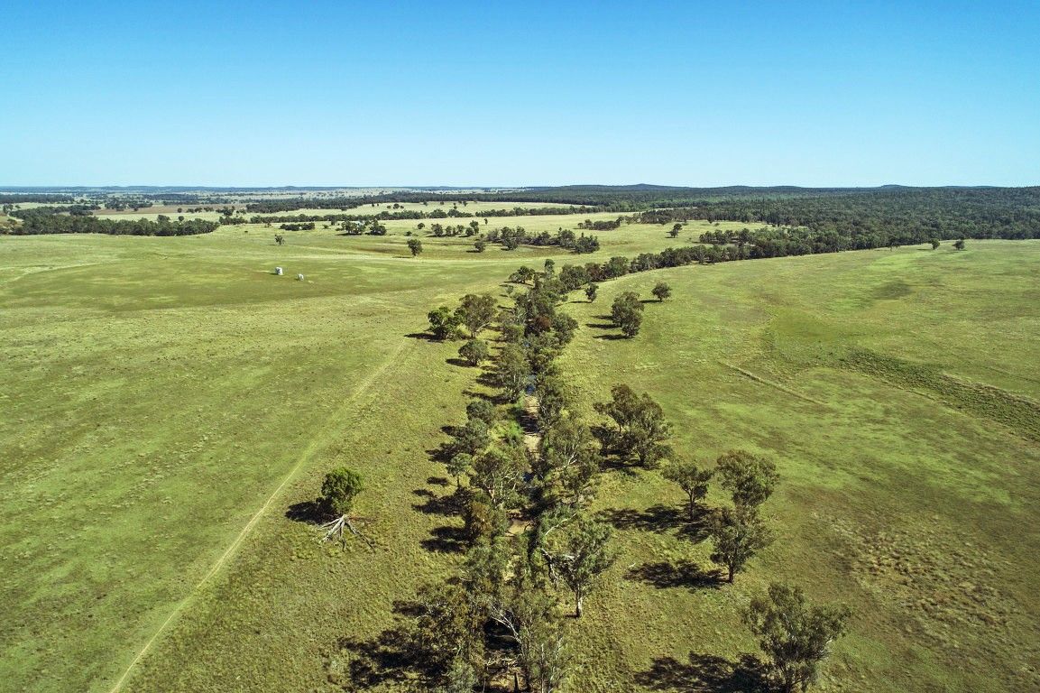
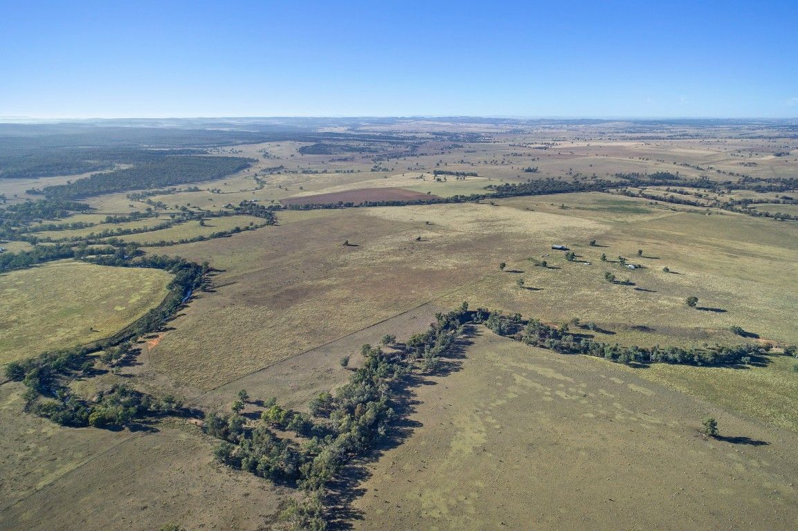
Topography
- River flats, dual frontage to the Talbragar River
- Gently undulating, increasing to timbered ridges to the North East
Water
- Good volumes, well-watered
- Dual frontage to the Talbragar River (6.5kms western side)
- Seasonal Lake (approx. 25 acres)
- Bores; 3 (GW044740 & GW044739, GW042597 approved for Irrigation)
- Dams; 8
- Rainfall; 552.88mm per annum (approx.)
Infrastructure and Improvements; Reasonable condition
- Yards; Attached to Shearing Shed
- Race; 500 head of sheep capacity
- Fencing; Fully fenced, stock proof
- Paddocks; To be confirmed
- Silos; 1 - Flat and cone bottom design, concrete piering, Capacity of 150 tonne
- Two-bay shed; Adjoining Machinery shed (steel frame)
- 3 bay shearing shed (100 head undercover capacity, corrugated iron, steel framing, elevated loading deck)
Accommodation
- Circa 1930 2/3 bedrooms (weatherboard and fibro house, piers, metal roof)
- Evidence of white ant house damage
Soils
- Premium alluvial river flats (approx. 370acres)
- Variable sandy red loam s, black and yellow earths
Capacity
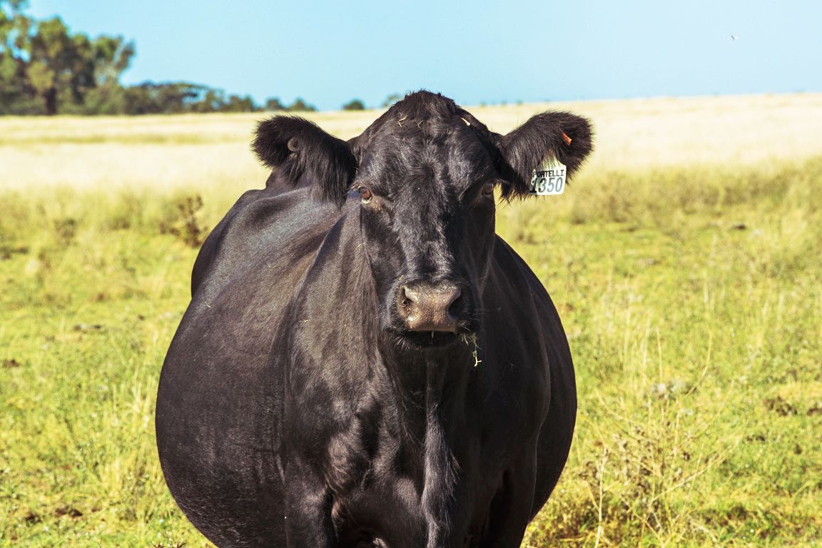
- Approximately 120 to 140 cows and calves
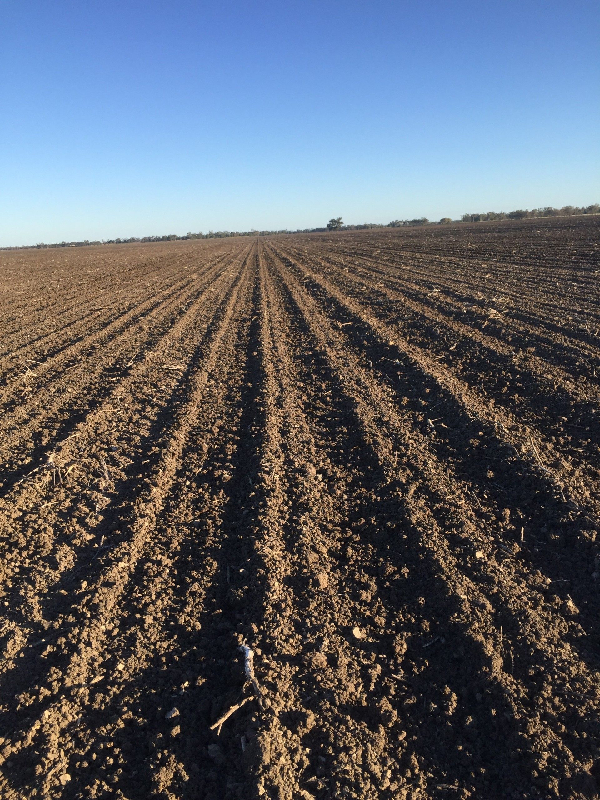
Crops
- Crops; Barley, oats and wheat (Mainly Winter)
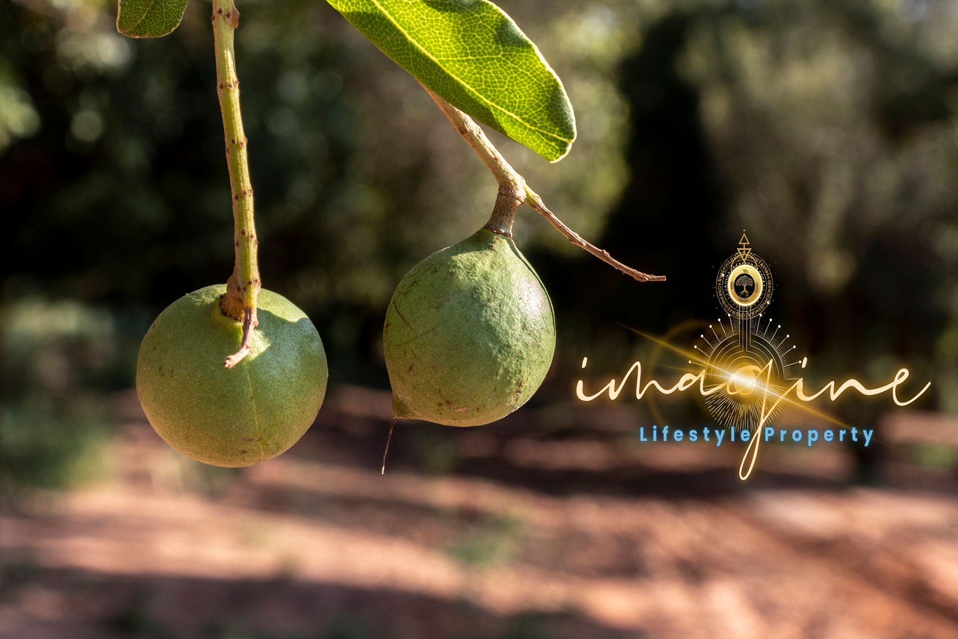
Timbered area
- Approximately 60%
- Including Rough Bark, River Red, Apple, Grey and Fuzzy Box
- Elevation; Ranging from 360 to 440 metres above sea-level
History
- Mixed farming that supported a grazing and cropping enterprise
- Primary production; Beef cattle breeding and fattening
- Sheep wool and meat
- Originally being part of the Cobbora Coal project
Location and access
- Via Golden Highway
- 60kms from Dubbo
- 28km from Dunedoo
- 12km to Elong
Council(s)
- Dubbo Regional Shire Council - Rates; $443.69
- Warrumbungle Shire Council - Rates; $6,962.20
Zoning
- RU1 Primary Production
- Warrumbungle LEP 2013
- Minimum Lot Size; 600ha
Area; Courtesy Wikipedia
Dubbo
- A city in the Orana Region of New South Wales, Australia.
- The largest population centre in the Orana region, with a population of 38,392 at June 2018.
- Located at the intersection of the Newell, Mitchell and Golden Highways.
- The nearest city, Orange, is about 144km away.
- Dubbo is located north-west of Sydney by road
- A major road and rail freight hub to other parts of New South Wales.
- Linked by National Highways north to Brisbane, south to Melbourne, east to Sydney and Newcastle, west to Broken Hill and Adelaide.
#elongelong #karooladowns #cropping #primaryproduction #dubbo #dunedoo #warrumbungle #nsw
Disclaimer.
This advertisement contains information provided by third parties. While all care is taken to ensure otherwise, we do not make any representation as to the accuracy of any of the information contained in the advertisement, we do not accept any responsibility or liability and recommend that any interested party make their own investigations and enquiries. All images are indicative of the property only.
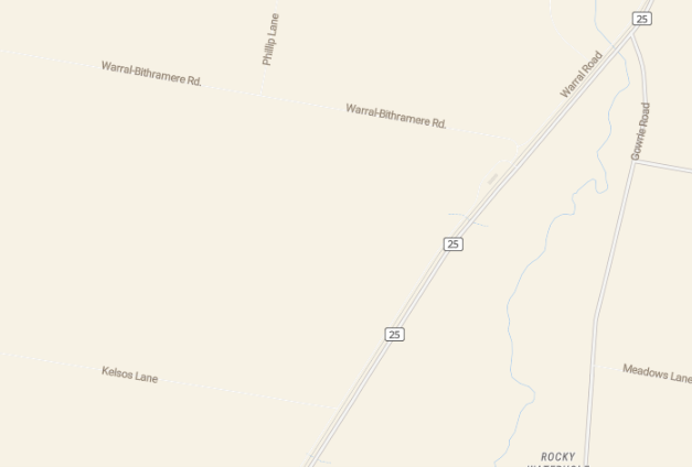
Property Location